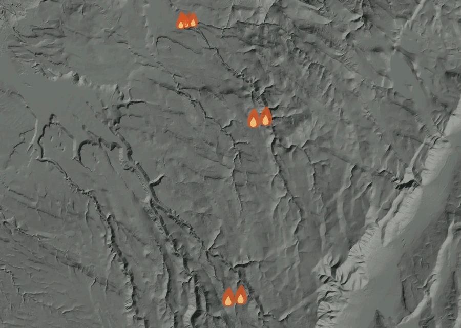
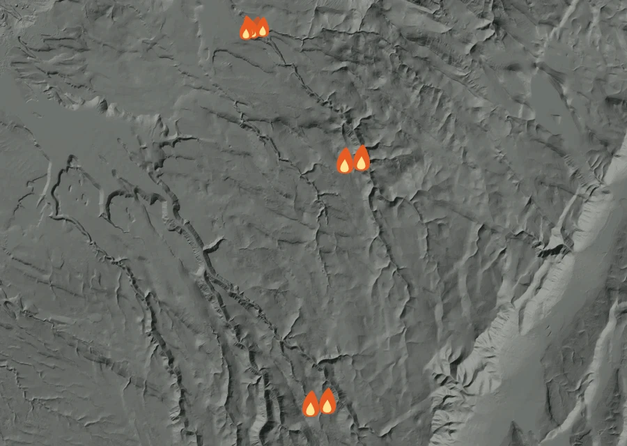
7.3 miles north-west of the recorded point
6 readings of heat in the last day — all of the heat seen in that time.
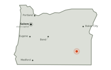
Harney County, Oregon
Burning 29.7 miles south of Crane, since Thursday 23 July.
76,443
acres burned so far — about 119 square miles
84
days burning so far
100%
of the perimeter held
The picture as of 7:50pm today
The Bald Mountain Fire is still building. The last heat was seen 4 hours ago.
4hours
since anything was last seen giving off heat — about 4:15pm on Thursday, local time.
209% more
energy in the last 1.7 hours of the record than in the 1.7 before them — the fire was hotter when it was last seen.
23.6miles
is how close the heat has come to Crane at any point in the record. In the last day the nearest heat has been 23.6 miles from it. The two figures are the same because the record is barely a day long: the last day is very nearly all of it.
9.2miles
is the furthest any heat has been seen from the point on the official record — the width of the ground involved so far.
No smoke has been recorded lying over this ground.
7.3 miles north-west of the recorded point
6 readings of heat in the last day — all of the heat seen in that time.
Conditions measured 7.4 miles from the fire: 52°F, air at 21% humidity, a 15 mph wind out of the north-east.
How it got here
The record here begins at 12:47pm on 15 Oct and runs to 4:14pm on 15 Oct — 4 hours, 10 readings of heat. The fire is on day 85, so the first 84 days are missing: nothing showed up from above until the fire was large enough and the sky over it clear enough for it to be seen. There is no long arc to draw yet. What follows is what has actually happened.
Thu 12:00pmThu 4:00pm
Each bar is one hour of local time, sized by how much energy the fire gave off in it. This fire is too young for a day-against-day comparison to say anything, so the hours are shown instead.
Thu15 Octlatest
Each step is a change on the interagency incident record — acreage, containment or crews — with the date it was reported. No satellite reading is involved.
Thursday 23 July
First reported
Sunday 23 August
76,443 acres on record — 99% contained, 32 personnel assigned
76,443 ac · 99% held · 32 crewFriday 11 September
Containment 100% — 2 personnel
76,443 ac · 100% held · 2 crew100% of the perimeter is being reported as held. 2 people are assigned to it. It has grown from 0 acres when it was first written down to 76,443 now. Heat was still showing within the last half-day, and the record still lists this fire as active.