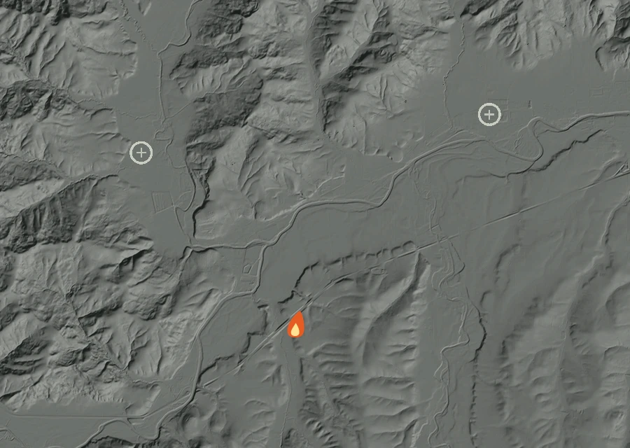
Burning 0.8 miles north-west of Willamina and 3.3 miles east of Fort Hill, since Wednesday 26 August.
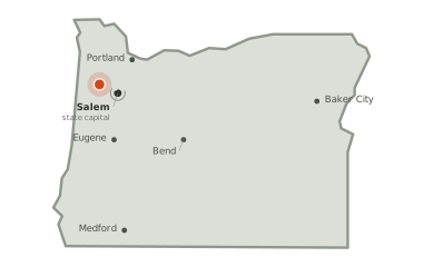
The fire sits 26 miles from Salem and 52 miles from Portland.
—
acreage not yet reported
49
days burning so far
—
no share of the perimeter reported held yet
The picture as of 9:09am today
The Fort Hill Fire is still listed as active, and has not been looked at lately. Nothing has given off fresh heat for 571 hours.
No fresh look at this fire for 571 hours. Everything on the map below was seen before then.
Heat in the last dayHigher ground pale, valleys darkWhere another fire is recorded
571hours
since anything was last seen giving off heat — about 2:20pm on Monday, local time.
0readings
of heat in the last day. There is not yet an earlier stretch of record to compare that against.
1.2miles
is how close the heat has come to Willamina at any point in the record. In the last day the nearest heat has been None miles from it, and the closest this fire has come to Fort Hill is 4.4 miles, None in the last day.
2.0miles
is the furthest any heat has been seen from the point on the
official record — the width of the ground involved so far.
Two other fires are burning inside the same view. NonSTAT Rock Creek Rd Fire started on Thursday 20 August, 3.6 miles east, and has reached 0 acres. Oak Fire started on Monday 12 October, 0.7 miles north-west, and has reached an unrecorded size. Their heat is counted against them, not against this fire, and the pale rings on the map mark where they are recorded.
Smoke has been recorded lying over this ground two times so far. The thickest of it was thin between 1:10pm and 4:30pm local time. The last of those windows closed 185 hours ago, so what is overhead now is not known.
Where the heat is
No cluster large enough to call a separate front. The heat is in one piece.
Conditions measured 15.1 miles from the fire: 54°F, air at 96% humidity, a 5 mph wind out of the north-west.
How it got here
One day of record on a day-51 fire
The record here begins at 2:21pm on 21 Sep and runs to 2:21pm on 21 Sep — 0 hours, 1 readings of heat. The fire is on day 51, so the first 50 days are missing: nothing showed up from above until the fire was large enough and the sky over it clear enough for it to be seen. There is no long arc to draw yet. What follows is what has actually happened.
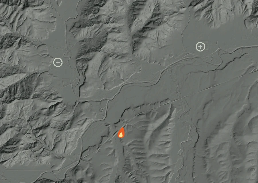
The whole record, 7 frames at
1 hour
a frame. The bar along the bottom is energy released; the moving line is the clock.
Hour by hour local time
Mon 2:00pmMon 2:00pm
Each bar is one hour of local time, sized by how much energy the
fire gave off in it. This fire is too young for a day-against-day comparison to say
anything, so the hours are shown instead.
Day by day 1 day of record
Mon21 Seplatest
First readings
1 heat readings
Heat from 2:21pm to 2:21pm
Spread 2.0 miles from the recorded point at its furthest
Burning through the afternoon
How the record has moved
Each step is a change on the interagency incident
record — acreage, containment or crews — with the date it was reported.
No satellite reading is involved.
Wednesday 26 August
First reported
No containment figure has been reported for it yet. No crew count has been published for it yet. Nothing has looked at it for 571 hours, and the record still lists it as active.