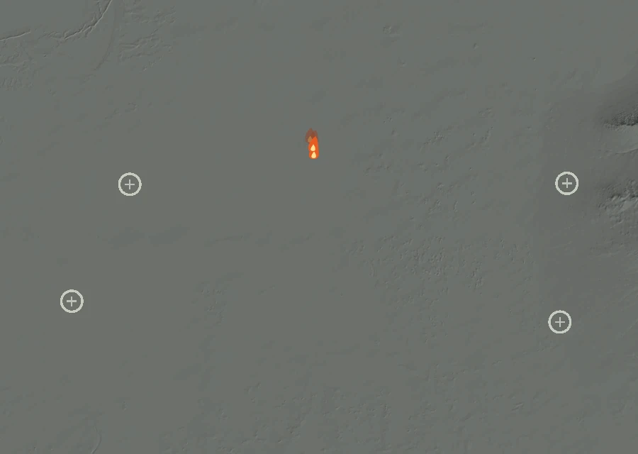
No cluster large enough to call a separate front. The heat is in one piece.
How it got here
Six days of record on a day-43 fire
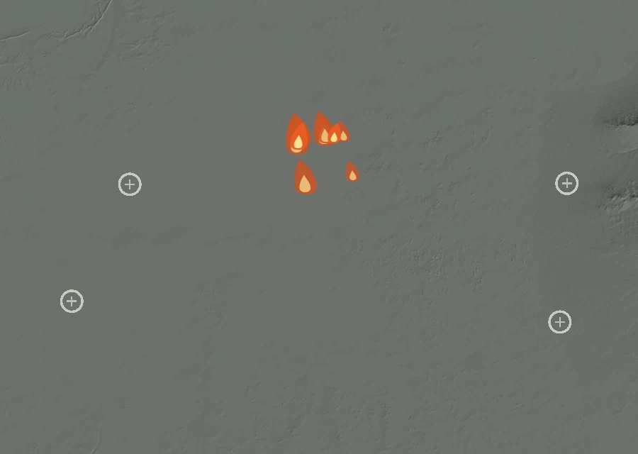
The record here begins at 2:55pm on 3 Sep and runs to 2:56am on 8 Sep — 108 hours, 45 readings of heat. The fire is on day 43, so the first 37 days are missing: nothing showed up from above until the fire was large enough and the sky over it clear enough for it to be seen.
Day by day 6 days of record
-
Thu3 Sep
First readings
- 10 heat readings
- Heat from 2:55pm to 9:14pm
- Spread 0.9 miles from the recorded point at its furthest
- Burning through the afternoon and night
-
Fri4 Sep
Holding
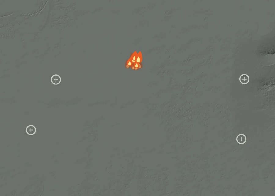
- 18 heat readings — the most of any day
- Energy 49% down on the day before
- Heat from 1:37am to 2:36pm
- Spread 0.9 miles from the recorded point at its furthest
- Burning through the pre-dawn and afternoon
-
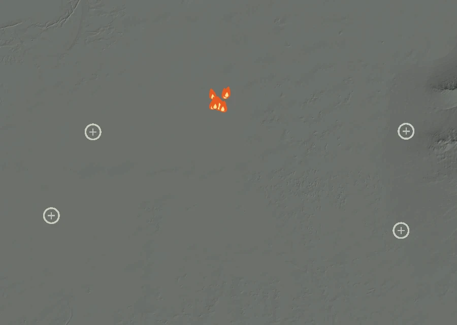
Sat5 Sep
Cooling off
- 9 heat readings
- Energy 86% down on the day before
- Heat from 1:54am to 3:51am
- Spread 0.8 miles from the recorded point at its furthest
- Burning through the pre-dawn
-
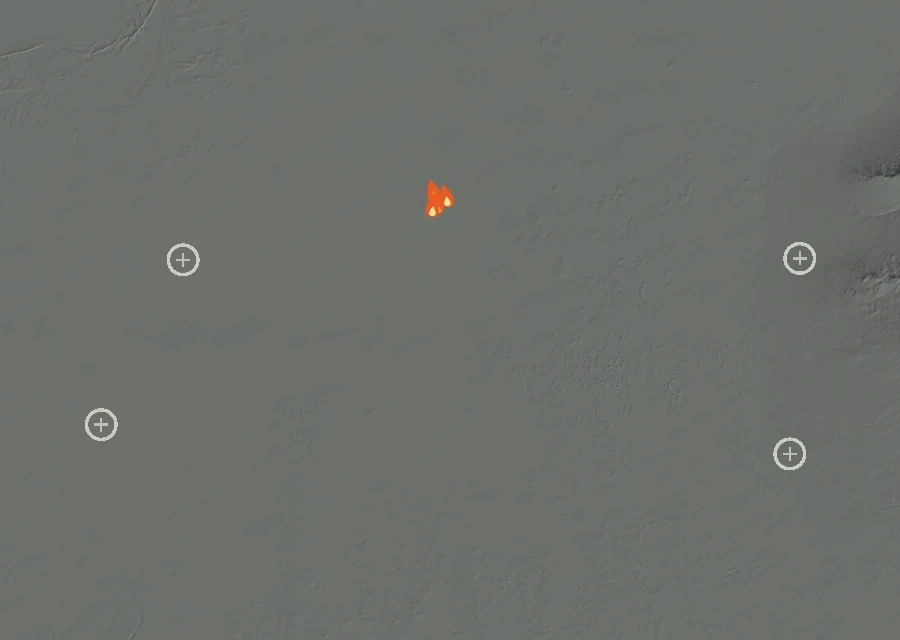
Sun6 Sep
Cooling off
- 4 heat readings
- Energy 76% down on the day before
- Heat from 1:54am to 3:34am
- Spread 0.7 miles from the recorded point at its furthest
- Burning through the pre-dawn
-
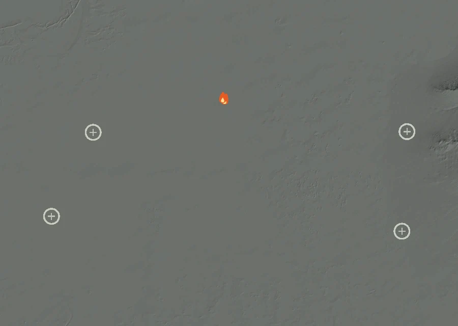
Mon7 Sep
Cooling off
- 2 heat readings
- Energy 80% down on the day before
- Heat from 2:56am to 3:15am
- Spread 0.7 miles from the recorded point at its furthest
- Burning through the pre-dawn
-
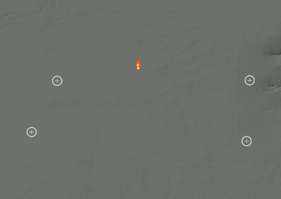
Tue8 Seplatest
Flaring up
- 2 heat readings
- Energy 2.0 times the day before
- Heat from 2:02am to 2:56am
- Spread 0.6 miles from the recorded point at its furthest
- Burning through the pre-dawn
How the record has moved
Each step is a change on the interagency incident record — acreage, containment or crews — with the date it was reported. No satellite reading is involved.
-
Thursday 3 September
First reported
No containment figure has been reported for it yet. No crew count has been published for it yet. Nothing has looked at it for 894 hours, and the record still lists it as active.