Awatchfire

San Bernardino County, California

Mtz/Bdc/Rancho Fire

Burning 7.9 miles north of Piñon Hills and 9.0 miles west of Adelanto, since Wednesday 4 November.

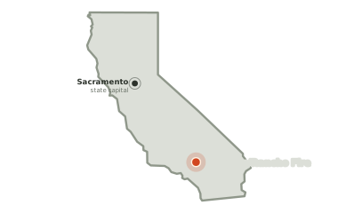
Map of California. The Mtz/Bdc/Rancho Fire burns 351 miles from Sacramento, and 351 miles from the state capital, Sacramento.
The fire sits 351 miles from Sacramento.

0

acres burned so far

8

hours burning so far

—

no share of the perimeter reported held yet

The picture as of 8:33pm today

The Mtz/Bdc/Rancho Fire is still building. The last heat was seen 8 hours ago.

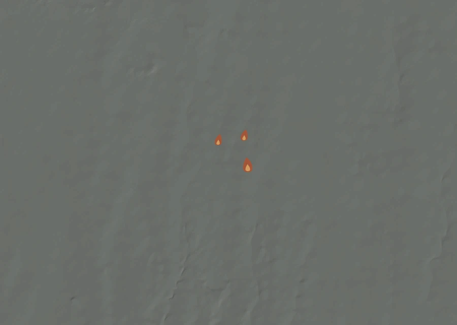
Shaded relief map of the Mtz/Bdc/Rancho Fire. Amber flames mark every place that gave off heat in the last day; the shading is the shape of the ground.
Heat in the last day Higher ground pale, valleys dark

8hours

since anything was last seen giving off heat — about 12:55pm on Wednesday, local time.

49% more

energy in the last 0.5 hours of the record than in the 0.5 before them — the fire was hotter when it was last seen.

8.2miles

is how close the heat has come to Piñon Hills at any point in the record. In the last day the nearest heat has been 8.2 miles from it, and the closest this fire has come to Adelanto is 8.7 miles, 8.7 in the last day. The two figures are the same because the record is barely a day long: the last day is very nearly all of it.

0.5miles

is the furthest any heat has been seen from the point on the official record — the width of the ground involved so far.

One larger fire is burning outside this frame: Summit Fire 8.8 miles south-west at 2,690 acres. None of their heat is counted here.

Smoke has been recorded lying over this ground five times so far. The thickest of it was thin between 1:00pm and 4:30pm local time. The last of those windows closed 182 hours ago, so what is overhead now is not known.

Where the heat is

No cluster large enough to call a separate front. The heat is in one piece.

Conditions measured 5.9 miles from the fire: 58°F, air at 38% humidity.

How it got here

One day of record on a day-1 fire

The record here begins at 12:08pm on 4 Nov and runs to 12:53pm on 4 Nov — 1 hours, 3 readings of heat. There is no long arc to draw yet. What follows is what has actually happened.
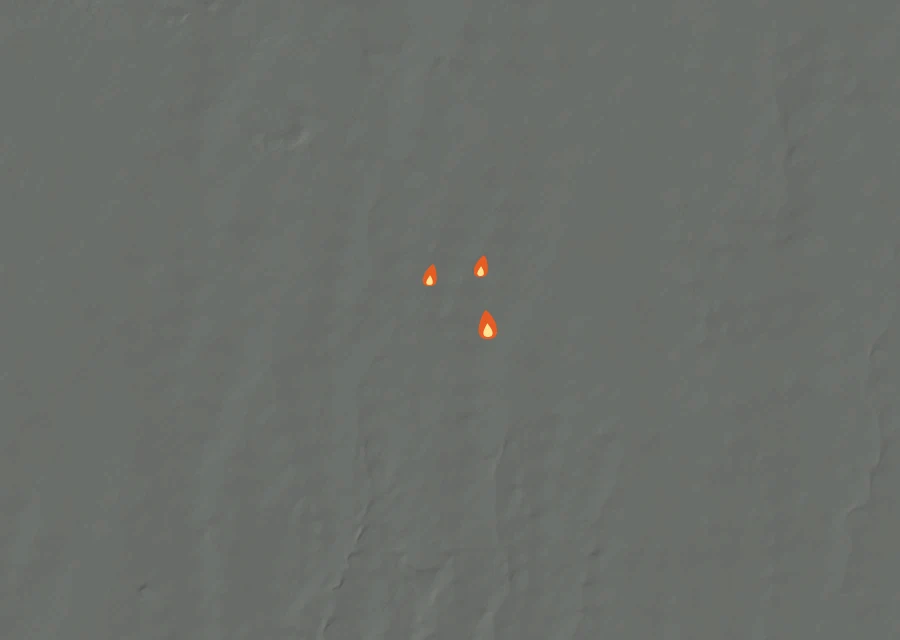
Animated map of the Mtz/Bdc/Rancho Fire across the whole record, with a time bar along the bottom showing energy released and the local date.
The whole record, 7 frames at 1 hour a frame. The bar along the bottom is energy released; the moving line is the clock.

Hour by hour local time

Wed 12:00pmWed 12:00pm

Each bar is one hour of local time, sized by how much energy the fire gave off in it. This fire is too young for a day-against-day comparison to say anything, so the hours are shown instead.

Day by day 1 day of record

How the record has moved

Each step is a change on the interagency incident record — acreage, containment or crews — with the date it was reported. No satellite reading is involved.

  1. Wednesday 4 November

    First reported

  2. Wednesday 4 November

    0 acres on record

    0 ac

No containment figure has been reported for it yet. No crew count has been published for it yet. It has grown from 0 acres when it was first written down to 0 now. Heat was still showing within the last half-day, and the record still lists this fire as active.