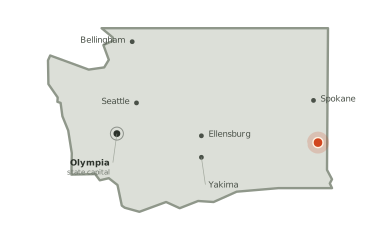
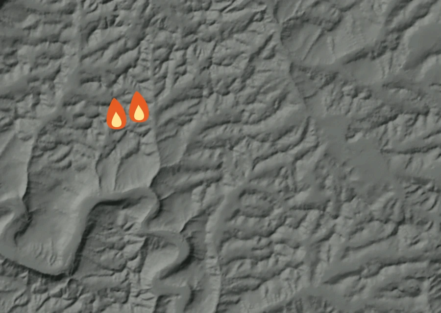
No cluster large enough to call a separate front. The heat is in one piece.
How it got here
Three days of record on a day-69 fire
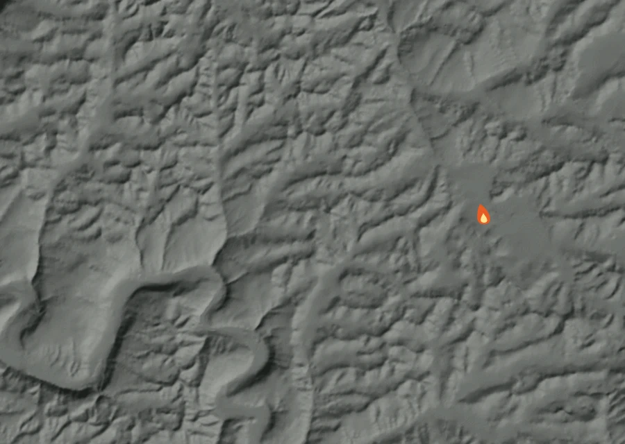
The record here begins at 2:01pm on 22 Sep and runs to 1:19pm on 5 Oct — 311 hours, 4 readings of heat. The fire is on day 69, so the first 66 days are missing: nothing showed up from above until the fire was large enough and the sky over it clear enough for it to be seen.
Day by day 3 days of record
-
Tue22 Sep
First readings
- 1 heat readings
- Heat from 2:01pm to 2:01pm
- Spread 3.1 miles from the recorded point at its furthest
- Burning through the afternoon
-
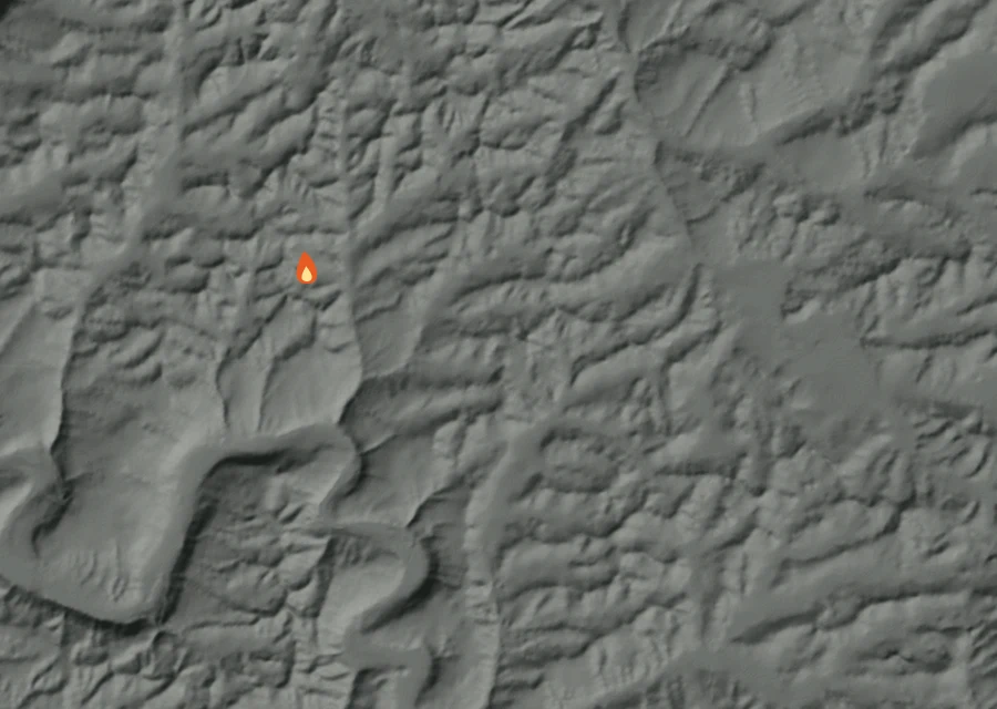
Fri2 Oct
Holding
- 1 heat readings
- Energy 1.0 times the day before
- Heat from 2:14pm to 2:14pm
- Spread 1.0 miles from the recorded point at its furthest
- Burning through the afternoon
-
Mon5 Octlatest
The fiercest day
- 2 heat readings — the most of any day
- Energy 13.5 times the day before
- Heat from 1:19pm to 1:19pm
- Spread 1.1 miles from the recorded point at its furthest
- Burning through the afternoon
How the record has moved
Each step is a change on the interagency incident record — acreage, containment or crews — with the date it was reported. No satellite reading is involved.
-
Saturday 8 August
First reported at 200 acres
200 ac -
Sunday 23 August
637 acres on record — 100% contained, 57 personnel assigned
637 ac · 100% held · 57 crew
100% of the perimeter is being reported as held. 57 people are assigned to it. It has grown from 200 acres when it was first written down to 637 now. Nothing has looked at it for 236 hours, and the record still lists it as active.