1.7 miles north of the recorded point
31 readings of heat in the last day — all of the heat seen in that time.
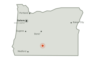
Lake County, Oregon
Burning 19.6 miles south of Silver Lake and 29.0 miles north of Beatty, since Friday 11 September.
2,185
acres burned so far — about 3 square miles
34
days burning so far
100%
of the perimeter held
The picture as of 7:50pm today
The Sycan Fire is burning. The last heat was seen 4 hours ago.
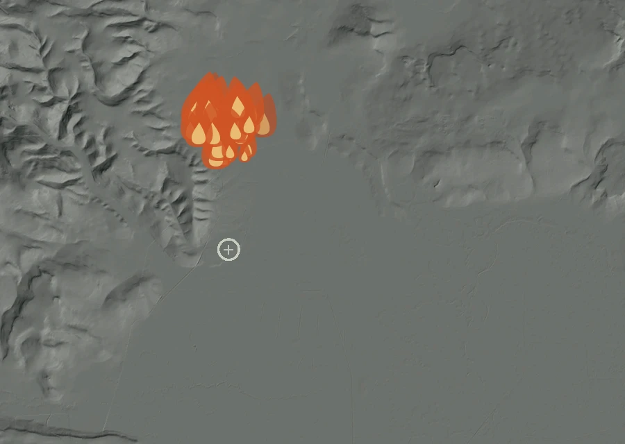
4hours
since anything was last seen giving off heat — about 4:15pm on Thursday, local time.
31readings
of heat in the last day. There is not yet an earlier stretch of record to compare that against.
17.7miles
is how close the heat has come to Silver Lake at any point in the record. In the last day the nearest heat has been 17.7 miles from it, and the closest this fire has come to Beatty is 28.4 miles, 30.3 in the last day. The two figures are the same because the record is barely a day long: the last day is very nearly all of it.
2.3miles
is the furthest any heat has been seen from the point on the official record — the width of the ground involved so far.
Another fire is burning inside the same view. 350 Fire started 0 minutes after this one, 0.4 miles north, and has reached 0 acres. Its heat is counted against it, not against this fire, and the pale ring on the map marks where it is recorded.
No smoke has been recorded lying over this ground.
1.7 miles north of the recorded point
31 readings of heat in the last day — all of the heat seen in that time.
Conditions measured 16.6 miles from the fire: 49°F, air at 32% humidity, a 5 mph wind out of the east.
How it got here
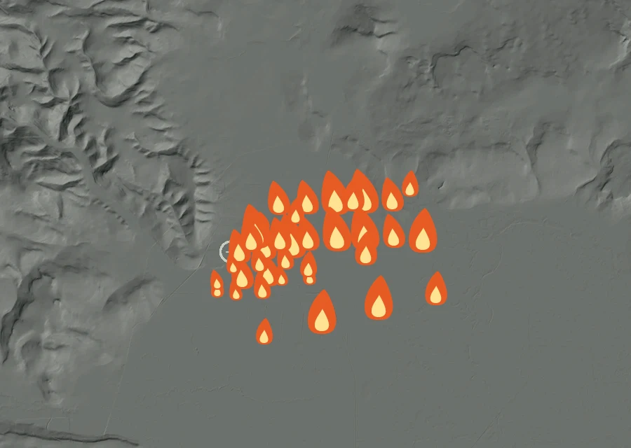
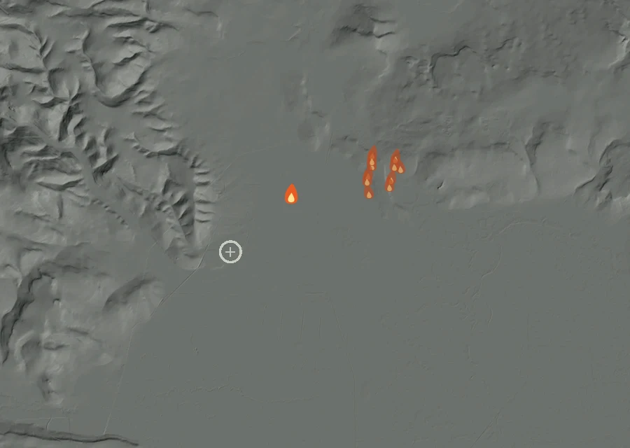
The record here begins at 2:06pm on 11 Sep and runs to 4:14pm on 15 Oct — 818 hours, 87 readings of heat. The fire is on day 35, so the first 30 days are missing: nothing showed up from above until the fire was large enough and the sky over it clear enough for it to be seen.
Fri11 Sep
Sat12 Sep
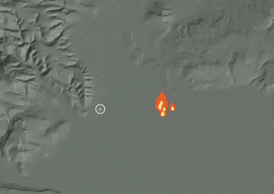
Sat3 Oct
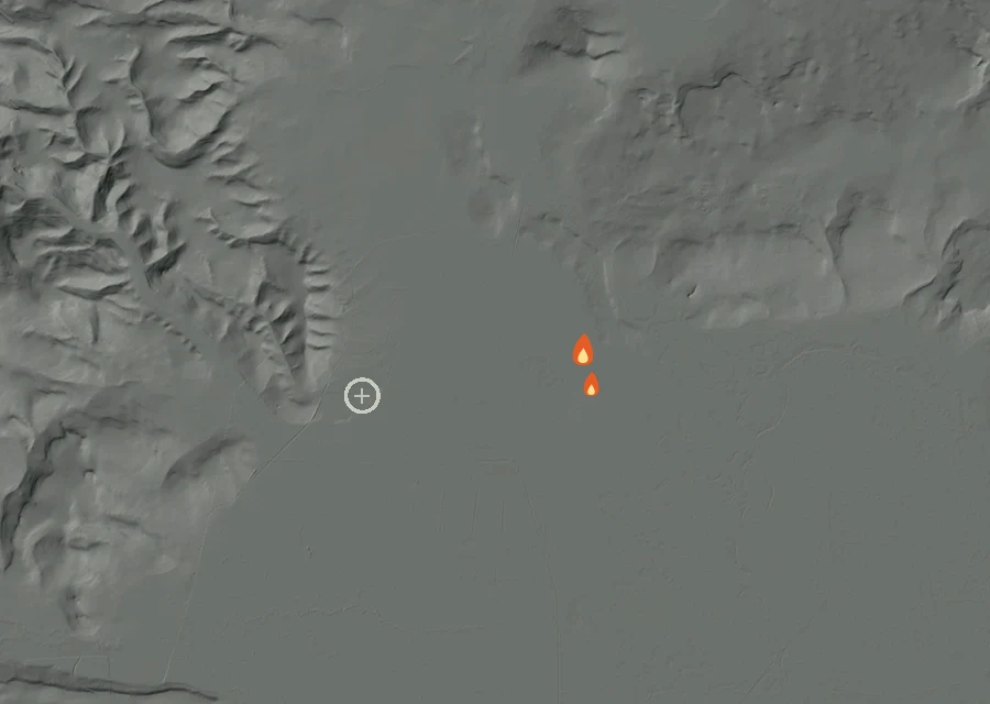
Fri9 Oct
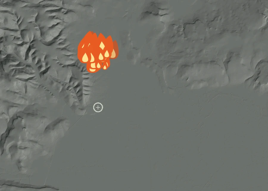
Thu15 Octlatest
Each step is a change on the interagency incident record — acreage, containment or crews — with the date it was reported. No satellite reading is involved.
Friday 11 September
First reported
Friday 11 September
0 acres on record
0 acFriday 11 September
Grew to 100 acres
100 acFriday 11 September
Grew to 400 acres
400 acFriday 11 September
Containment 0% — 39 personnel
400 ac · 0% held · 39 crewSaturday 12 September
Grew to 2,500 acres
2,500 ac · 0% held · 39 crewSunday 13 September
Revised to 2,185 acres — 99 personnel
2,185 ac · 0% held · 99 crewSunday 13 September
Containment 70%
2,185 ac · 70% held · 99 crewMonday 14 September
Containment 90% — 60 personnel
2,185 ac · 90% held · 60 crewTuesday 15 September
Containment 100%
2,185 ac · 100% held · 60 crew100% of the perimeter is being reported as held. 60 people are assigned to it. It has grown from 0 acres when it was first written down to 2,185 now. Heat was still showing within the last half-day, and the record still lists this fire as active.